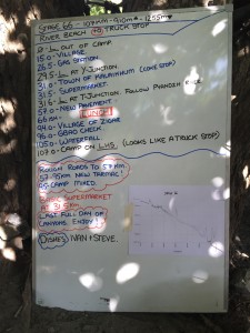
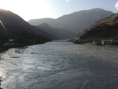
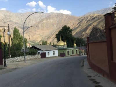
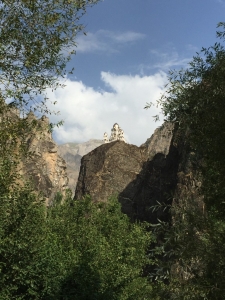
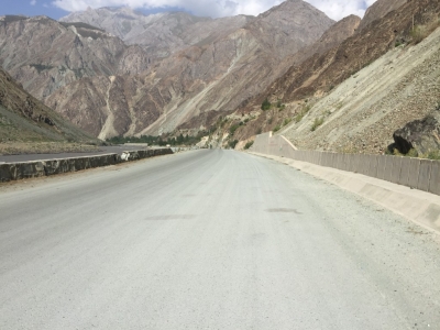
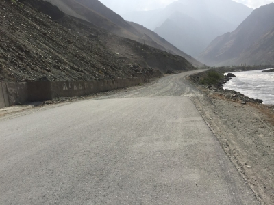
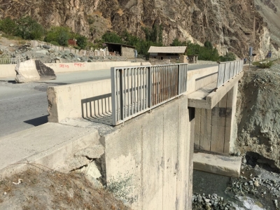
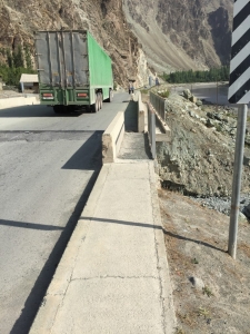
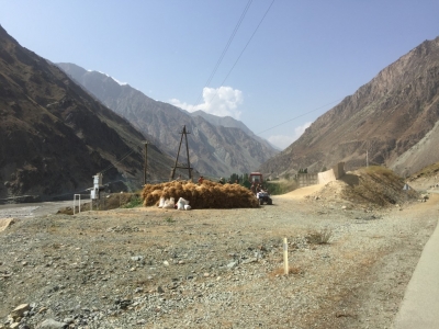
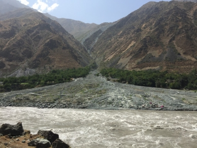
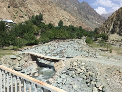
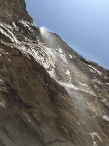
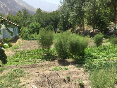
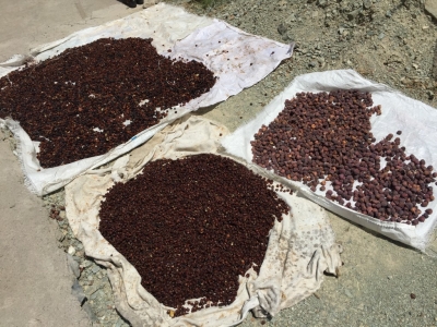
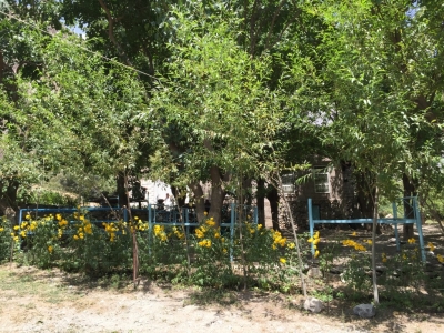
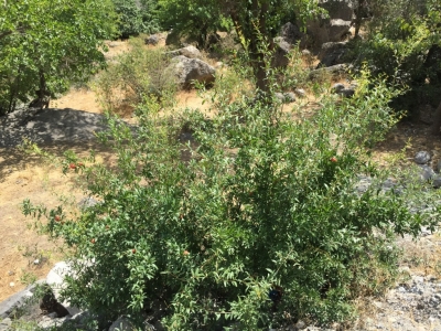
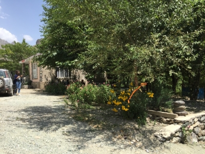
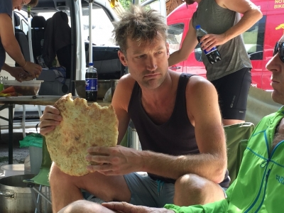
Started out not bad, nice town at 31km, road got much (much, much) worse before the pavement began, bridge that had been moved, waterfall shower, truck stop so much better then envisaged (one of the best campsites we’ve had), fresh figs off the tree, fruit drying, cooling drinks in the canal.
Riding data
| Total distance: | 106.72 km | Total Time: | 05:58:12 |
| Max elevation: | 1306 m | Min elevation: | 942 m |
| Total climbing: | 1112 m | Total descent: | -1425 m |
| Average speed: | 17.88 km/h | Maximum speed: | 64.44 km/h |

