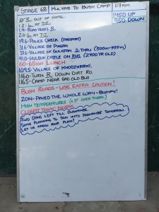
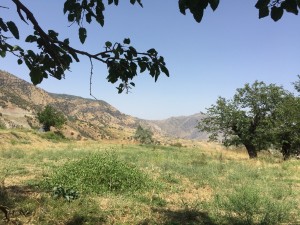
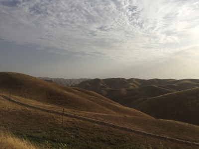
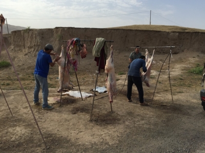
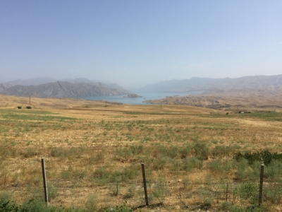
Out of town, no police check, tail wind, downhill, castle in the wrong place, big climb to lunch, roadside butchery, fall at railway lines, old airport, wrong distance, boy being brakes on the cart, long climb, Grant at coke stop, final climb to camp, old orchard, reservoir views, hot afternoon, great dinner, (stew, grilled aubergine, coleslaw with pomegranate, beetroot and nut salad), even hotter night.
Riding data
| Total distance: | 8324.51 km | Total Time: | 05:29:40 |
| Max elevation: | 1282 m | Min elevation: | 467 m |
| Total climbing: | 1426 m | Total descent: | -812 m |
| Average speed: | 1515.08 km/h | Maximum speed: | 2955146.76 km/h |

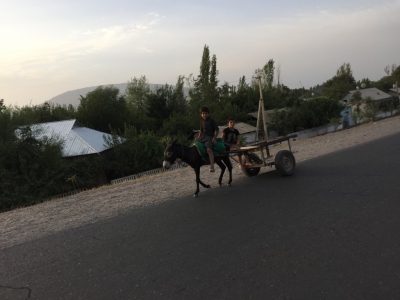
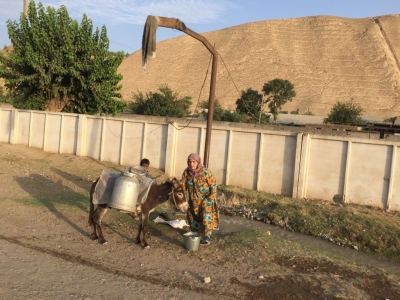
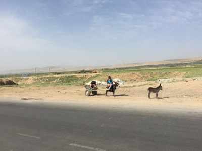
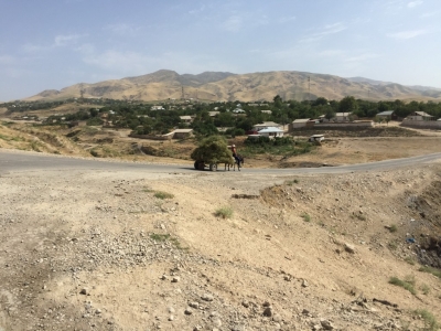
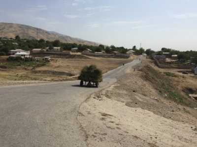
Donkeys seem to be number one mode of transport in this town.