More like a mountain climber
Looking back having made it across
The steepest face
But he’s still climbing
I spend a lot of each day with those lyrics going round and round in my head as we get toward the top of a climb and I’m about to look back at where I’ve just been!
So we have a new plan, and a new destination based on the impassable river.
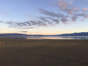
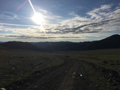
On the plus side it’s a beautiful morning
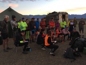
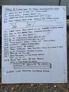
Getting from camp to the correct valley was said to be an issue, so we left in something of a convey to ensure that everyone could see someone who knew where they were going.
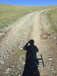
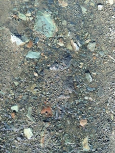
Once we were into the valley the real climbing began. At the outset it was manageable (and I even caught up with Ivan) but the further up we went the steeper it got, and the worse the track got, until in the end I was forced to walk – it’s pretty much impossible on my bike to ride.
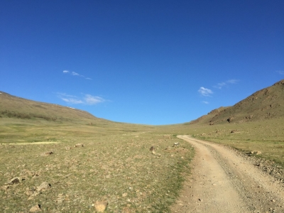
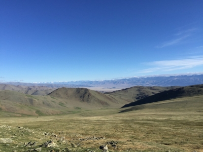
Towards the top things flattened back out again until we got to the top and the vista opened below us.
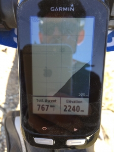
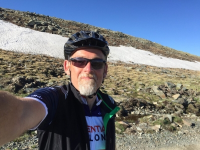
To date this has been both our highest altitude (2530m) and our greatest altitude gain in a single climb (1000m). For me the only issue was the surface being so slippery – on a MTB where the gears are much lower you can simply spin your pedals and continue to make progress, but on my cross bike the lowest gear is too high, so there’s too much torque and all you end up doing is wheel spinning!
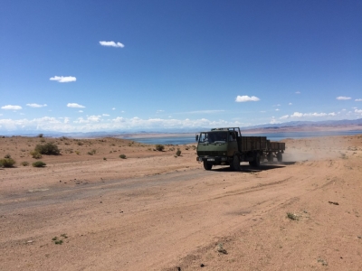
The descent was better than I’d expected too and had even had some enjoyable moments, but once we passed the village and the grade lowered it became much rougher again.
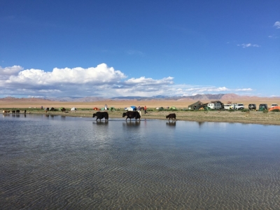
Lunch was in an awesome location in the bottom of a riverbed just before a small gorge – all very scenic. While we were there Will got further instructions to make the afternoon route easier to follow as apparently ‘it gets a bit tricky in places’, so Grant and I set off together.
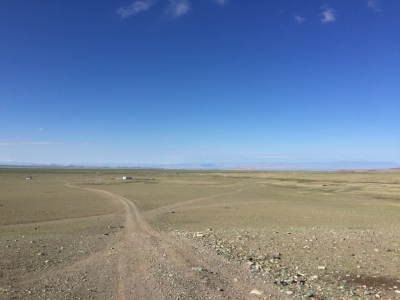
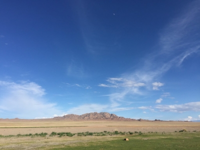
The going to rough, but bearable as we made our way across another huge flat plain ‘leaving the red building at 65km to your right’. The next instruction was also to leave a group of gers at 70km to our right, so we were quite a way out from the red building when I spotted Miles waving at us from outside said building – it seems we were leaving things too far to the right. He also made the route to the ‘climb 250m ending at 80km’ instruction clearer.
That climb was some of the best riding of the day – although it was heading up it wasn’t steep, and for once the surface was pleasantly smooth, and I soon left Grant behind. Just as I was nearing the top Jacob in one of the vans was coming down – great news camp is at 90km…!
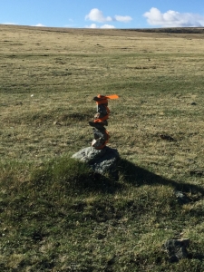
Ivan also seems to have gone missing – he was through lunch so early that the next set of instructions hadn’t made it there by then, so he headed off with only flagging to get him to camp – a difficult proposition at best, and he should have been in camp about 45 min ahead of me, but hadn’t been seen by Miles or Jacob, and isn’t here now!
Because the first climb was so long and so steep a lot of riders have yet to make it to the lunch stop as yet so all the crew bar Mark, who’s trying to cook dinner, are out either at the lunch stop, providing water and guidance on the tricker navigation, or looking for Ivan, so in between typing this I’m currently acting as the ‘welcoming and information committee’ for people as they come into camp.
Later: Eventually Ivan was located in the wrong valley, and was pointed in the right direction. All up he ended up doing 150km today – just as well he’s on a MTB and so finds this terrain much easier to deal with than those of us on cross or road bikes. On the plus side (from his perspective) he did find a town and had three ice-creams so doesn’t feel too hard-done-by.
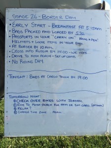
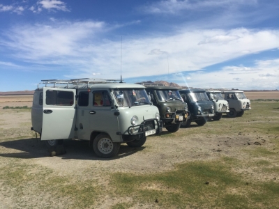
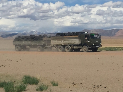
For one reason and three others the decision has been made that we’re not riding at all tomorrow. Partly that’s because our altered route today has put us in a totally different location to planned, and means that it’s 150km by road to the border and partly to do with logistics around the transferring of ‘stuff’ from the Mongolian vehicles we’ve been using for the last three weeks (which aren’t allowed to cross into Russia), into vehicles which can take us into Russia, and then finally into the TDA vehicles (which can’t come into Mongolia) which are waiting for us in Russia.
As you can see it’s another delightfully early start, so despite the fact that it’s only 2030, I’m going to see if it’s cool enough in my tent to sleep!
Oh – you’ll be pleased to know that my grazes are healing reasonably well – the greatest hassle I’m currently having is that with the hole in my knee I can’t kneel, which makes doing pretty much anything in my tent somewhat more challenging.
Riding data
| Total distance: | 87.96 km | Total Time: | 06:38:33 |
| Max elevation: | 2513 m | Min elevation: | 1438 m |
| Total climbing: | 1462 m | Total descent: | -1463 m |
| Average speed: | 13.24 km/h | Maximum speed: | 38.88 km/h |



The walking doesn’t count because it wasn’t on your actual route, right? Right?
I could go with that, but I’d already had to walk through the sand a couple of days back so it was a moot point by then…